|
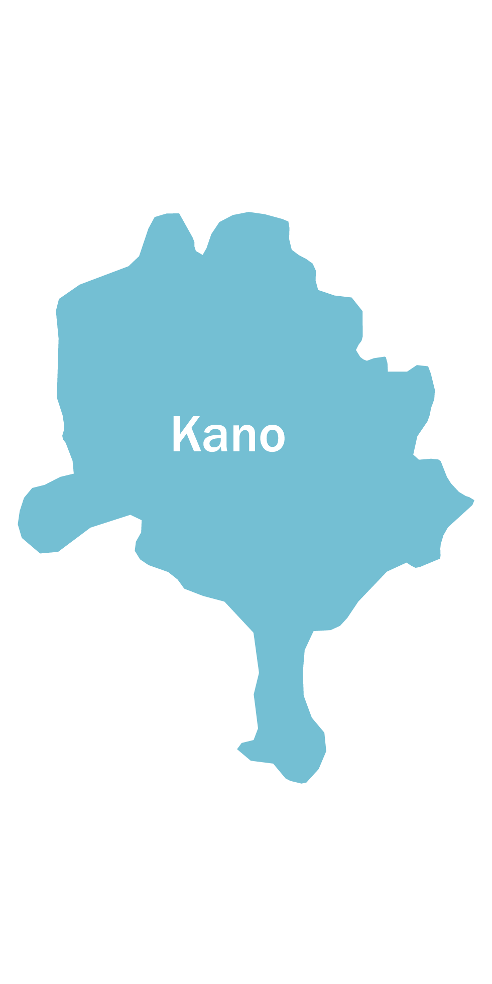
Kano State was created on May 27, 1967 from the Northern Region of Nigeria. The state is bordered to the north-west by Katsina State, to the north-east by Jigawa State, to the south-east by Bauchi State and to the south-west by Kaduna State. The State covers an area of 20,131 km2 (7,773 sq mi) and is ranked 20 out of the 36 states of Nigeria. The State is also ranked 1st in Nigeria with a population of about 12,757,211 (2015) which is about 62% amounting to 4,844,128 as male while 4,539,554 (as at 2006+) are female The state has 3 senatorial districts, 484 political wards and consists of 44 Local Government Areas namely: Ajingi, Albasu, Bagwai, Bebeji, Bichi, Bunkure, Dala, Dawakin Kudu, Dawakin Tofa, Doguwa, Fagge, Gabasawa, Garko, Garun Mallam, Gaya, Gwale, Gwarzo, Kabo, Kano Municipal, Karaye, Kibiya, Kiru, Kumbotso, Kura, Kunchi, Madobi, Madobi, Makoda, Minjibir, Nassarawa, Rano, Rimin Gado, Rogo, Shanono, Sumaila, Takai, Tarauni, Tofa, Tsanyawa, Tudun Wada, Ungogo, Warawa and Wudil.
Life expectancy as at 2001 is about 51 years male and 53 years female with a total fertility rate (TFR) of about 6.8% (NDHS 2013). Although the population of the State is predominantly rural the distribution in terms of sex is almost equal between male 51% and female 49%. The pattern of population distribution similar across the forty-four LGAs and both in the urban and rural areas.
The maternal mortality ratio (MMR) is estimated at 1,025 deaths per 100,000 live births. Mothers die frequently from complications of pregnancy and childbirth: anemia, obstetric hemorrhage, shock, sepsis and toxemias’. Other reasons for the high maternal mortality in the State include low ANC coverage, which stands at 64.3% (NDHS 2013) and the fact that delivery by health professionals and facility based delivery rates are 12.9% (NDHS 2013) respectively.
|
